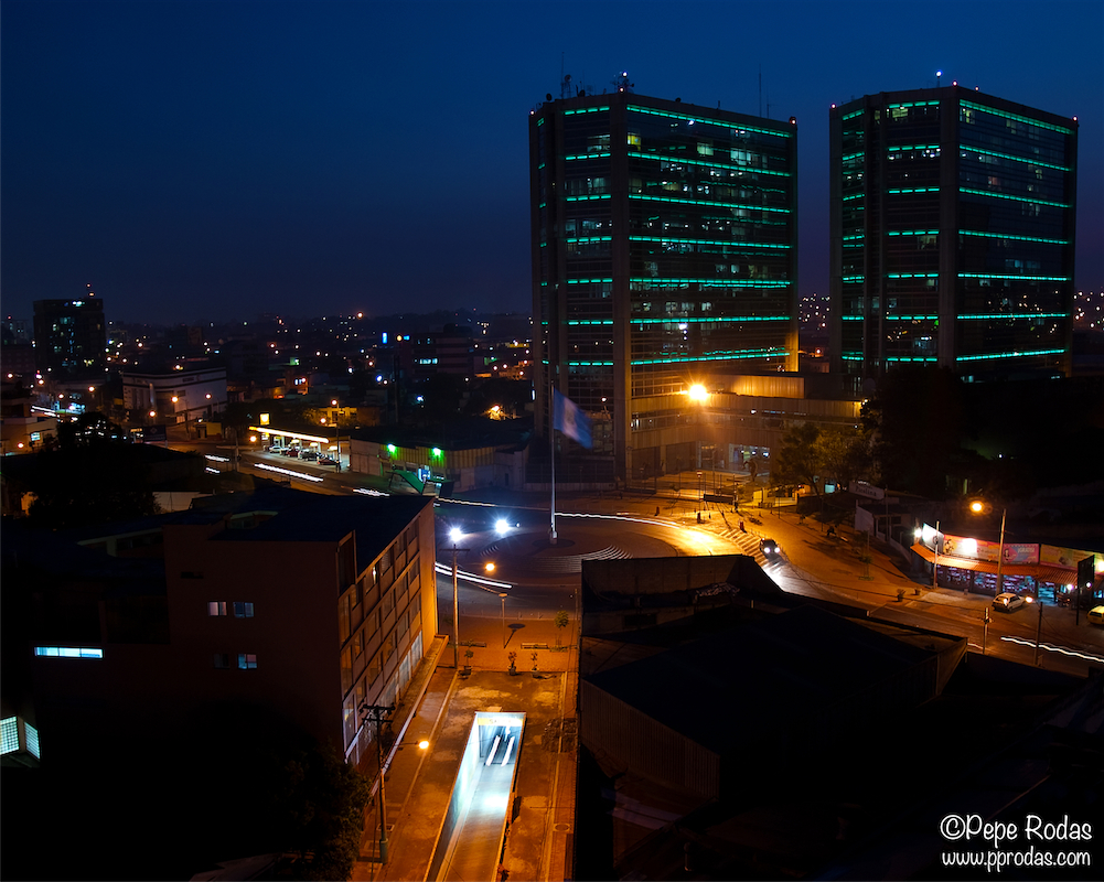
Guatemala City
-
Que es el evento?
El International Space Apps Challenge es un hackathon internacional que se llevará a cabo durante un período de 48 horas en ciudades en los siete continentes durante el fin de semana del 12-13 de abril de 2014.
El evento apela a la solución colaborativa de problemas y tiene el objetivo de producir soluciones de código abierto para encarar desafíos mundiales.
Que es un Hackathon?
Las Hackatones son maratones de desarrollo de tecnología que giran entorno a talentos e iniciativas de voluntarios de mente brillante, tanto desarrolladores, ingenieros, técnicos, diseñadores y cualquier persona que con pasión desee tener un impacto inmediato en el mundo. Están abiertas a cualquier persona que tenga una pasión por hacer la diferencia y se centre en el desarrollo de soluciones reales a retos mundiales al final del evento.
Antecedentes:
El primer reto de International Apps challenge se celebró en abril de 2012 en 25 ciudades del mundo. El evento reunió a más de 2.000 participantes (edades de 16 a 70 años) para enfrentar 71 desafíos centrados en mejorar la vida en el espacio y en la tierra! Más de 100 soluciones de código abierto únicas se desarrollaron en menos de 48 horas.
El international Space Apps Challenge fue un éxito en el 2013 con mas de 9000 participantes y se ha convertido en un evento anual. Nuestra visión es que este desafío internacional de aplicaciones del espacio continuará dando a la gente en todas partes una oportunidad sin precedentes para desarrollar soluciones significativas para ayudar a abordar necesidades críticas aplicables a ambas, la vida en el espacio y en la tierra.
El evento en Guatemala:
El evento en Guatemala esta siendo organizado por:
Campus Tecnológico – www.tec.com.gt
Universidad del Valle – www.uvg.edu.gt
Agenda del evento:
Lunes 31 de marzo / Campus Tec / e-garage
7:30 a.m. Lanzamiento del evento y conferencia de prensa
Sábado 12 de Abril / Universidad del Valle, zona 15
9:00 a.m. Registro
10:00 a.m. Lanzamiento
11:00 a.m. Comienzo desarrollos (reglas)
12:30 p.m. Break para Almuerzo
1:30 p.m. Continúan desarrollos
4:30 p.m. Reporte l de progresos
6:30 p.m. Break para Comer
8:00 p.m. Siguen desarrollos fuera de la Universidad
Domingo 13 de Abril / Universidad del Valle, zona 15
8:00 a.m. Actualización sobre logistica
8:15 a.m. Comienzo desarrollos
12:00 p.m. Break para Almuerzo
3:00 p.m. Presentaciones
4:30 p.m. Voto de los Jueces
5:00 p.m. Premiación
6:00 p.m. Cierre
Otros invitados:
Dr. Vinicio Montoya de Misión Espacial Guatemala
Dr. Sergio Montenegro - Universidad de Würzburg en Alemania
Julio Gallegos de European Space Astronomy Centre en España
Elizabeth Sabet de Second Muse, los organizadores del evento para la Nasa
VC con astronautas de la NASA durante el evento
Señor Superintendente de Telecomunicaciones de Guatemala - Ing. Eddy Padilla
Ganadores del Space Apps Challenge Guatemala 2013
Autoridades de la Universidad del Valle y el Campus Tecnologico
Nuestros colaboradores:
IEEE/USAC/UVG, Enactus UVG., Aiesec. Tugo , Red Ciudadana
Nuestros jurados:
Douglas Barrios, Luis Furlan,Saul Gamarro,Mario Wunderlich, Ihab Soliman, Etson Guerrero.
Projects Nominated for Global Judging
Best Mission Concept
Urban Data
Best Use of Hardware
Rover Chober
People's choice
Asteroid Battlecruiser
Resources
Sponsors
Location
Campus Tecnologico / Universidad del ValleMap it18 avenida, 11-95 zona 15.
Vista Hermosa III Guatemala
Guatemala City, Guatemala
GuatemalaTime
Start
End
Leads
Maria Zaghi
Email Maria -
The following projects were worked on at Guatemala City:
-
Spacecoatl
Project Members from this locationCreate a mobile app for Android that would help space tourists to easy access what they need on their journey.
Visit Project -
-
Time Earth
Project Members from this locationThe project, allow users to choose a region of interest by creating a polygon on the map view, choose a range of dates to collect images. Composite images to a video using ffmpeg and then share via Facebook, Twitter, G+.
We create a process to manipulate images using OpenCV to check t... Visit Project
-
-
ImagesEarth
Project Members from this locationThe app is about the climate change and global warming through the last ten years. Also, it discusses about how to avoid global warming and gives some ideas to prevent pollution.
Visit Project -
-
Project 404
Project Members from this locationSimple geotagging game.
The aim of this game is to classify the world by terrains. You're shown a google map screenshot which you are supposed to tag by terrains. Each tagged image awards you points according to the terrain match with other users., this information is saved on our da... Visit Project
-
-
SpaceTime Adventures
Project Members from this locationBuild an Android app that shows the missions in the Solar System. For each of the missions, it will show the path it has taken since its launch and the expected path.
The app will show fun facts about each mission.
(Description unfinished)
Visit Project -
-
Asteroid Battlecruiser
Project Members from this locationOur project has as principal aim to share knowledge about the Asteroid Belt, which is part of the Solar Sistem and it turns around the Sun, after Mars, therefore around the Earth. But, at any moment it could be dangerous if it diverts some asteroids towards the Earth.
Actually exists so... Visit Project
-
-
Rover Chober
Project Members from this locationThe creation of a somehow intelligent rover who can dodge obstacles by its own means. But instead of using multiple sensors, the servomotor will point the single proximity capacitive sensor to five different directions. The vehicle can also be controlled in a grafic interface in your PC or dev... Visit Project
-
-
Urban Data
Project Members from this locationUrban Data aims to create a mesh of sensors for cities. We use mesh networks, a Raspberry Pi and a bunch of sensors to detect urban micro climates, heatwaves and pollution. Starting with temperature, humidity, atmospheric pressure, CO2 and O and more sensors, Urban Data aims to provide an exte... Visit Project
-
-
Gravity mApp
Project Members from this locationThis project aims to solve the NASA Apps Challenge to create an interactive Gravity Map combining data base from GOCE/GRACE resources to display the gravity force according to the user´s location (provided by a GPS). The output will be displayed as a numeric value.
Visit Project -
-
GEFOT (Green Edge of the Future Organic Technology)
Project Members from this locationThe Green Edge of the Future Organic Technology works with solar energy and all the process is connected with the micro Algae (Arthrosperis Maxima, Chlorella acutus, and Schenedesmus Dimorphus), The photobioreactor using Insitu resources from the Martian soil and collecting the CO2 from the ... Visit Project
-
-
EPICEARTH
Project Members from this locationePicEarth purports to show work in the space stations. Encourage the participation of users and distribution of content through social networking. The solution is composed of a mobile application and a web platform. In the mobile application users may comment on photos, rate, download, share ... Visit Project
-
-
Gaia
Project Members from this locationBy mass analyzing the injuries on leaves, is possible to determine which areas around a world is where the ozone is more damanged.
Visit Project -
-
Leaf Me Alone Culiacan
Project Members from this locationThe purpose of this project is to use the information that can be gathered using a smartphone to take pictures of leaves damaged by ozone pollution to help achieve a clearer view of the level of pollution that is occurring in different areas of the globe.
Visit Project -
-


